Brandon Smith
President – Principal Risk Assessor

We noticed that you're in Canada, but you are currently on the International site for Clear-Site Solutions.
Would you like to be redirected to our Canadian site?
 Clear-Site Solutions
March 3, 2025
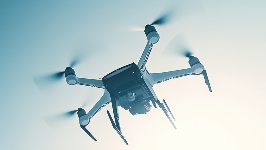
At Clear-Site Solutions, we are at the cutting edge of environmental assessments, redefining how data is captured, analyzed, and utilized to drive smarter decision-making. By integrating advanced imagery and sensing technologies, we provide unparalleled precision, efficiency, and safety in site evaluations. Our innovative approach leverages drones, LiDAR mapping, and thermal sensing to unlock new levels of environmental intelligence.
Drones have transformed environmental site assessments by providing rapid, high-resolution aerial imagery that captures critical site conditions in real-time. Our drone technology offers:
By integrating multiple sensing technologies, we create a comprehensive environmental dataset that enhances site understanding and risk assessment. Our sensors detect and measure:
Our automated data collection processes ensure that field teams, engineers, and decision-makers receive immediate, actionable insights. By seamlessly integrating drone-based imagery and sensing data with our cloud-based analytical tools, we provide a dynamic, evolving conceptual site model that adapts as new information becomes available.
Beyond improving data accuracy, our approach enhances safety and efficiency. Traditional field sampling in hazardous locations presents significant risks, but with our heavy-lift drones, we eliminate the need for direct human exposure. This innovation not only reduces costs but also expedites project timelines by delivering reliable data faster than ever before.
At Clear-Site Solutions, we are pushing the boundaries of what’s possible in environmental assessment. By integrating cutting-edge imagery and sensing technologies, we are setting a new standard for risk-based liability reduction and environmental stewardship.
The future is data-driven, and we are leading the way. Contact us today to learn how our advanced imaging and sensing solutions can transform your site assessment process and help you make better, safer, and more informed decisions.
Want to learn more about our services and how we can help?